
Ywatha[1] is a village in Wetlet Township, Shwebo District, in south-western Sagaing Region in Burma (Myanmar), on the right (west) bank of the Irrawaddy River.[2]
Ywatha | |
|---|---|
Village | |
  Ywatha Location in Burma | |
| Coordinates: 22°19′49″N 95°58′44″E / 22.33028°N 95.97889°E | |
| Country |  Burma Burma |
| Region | Sagaing Region |
| District | Shwebo District |
| Township | Wetlet |
| Elevation | 47 m (154 ft) |
| Time zone | UTC+6.30 (MST) |
References
edit- ↑ Ywatha at GEOnet Names Server. National Geospatial-Intelligence Agency
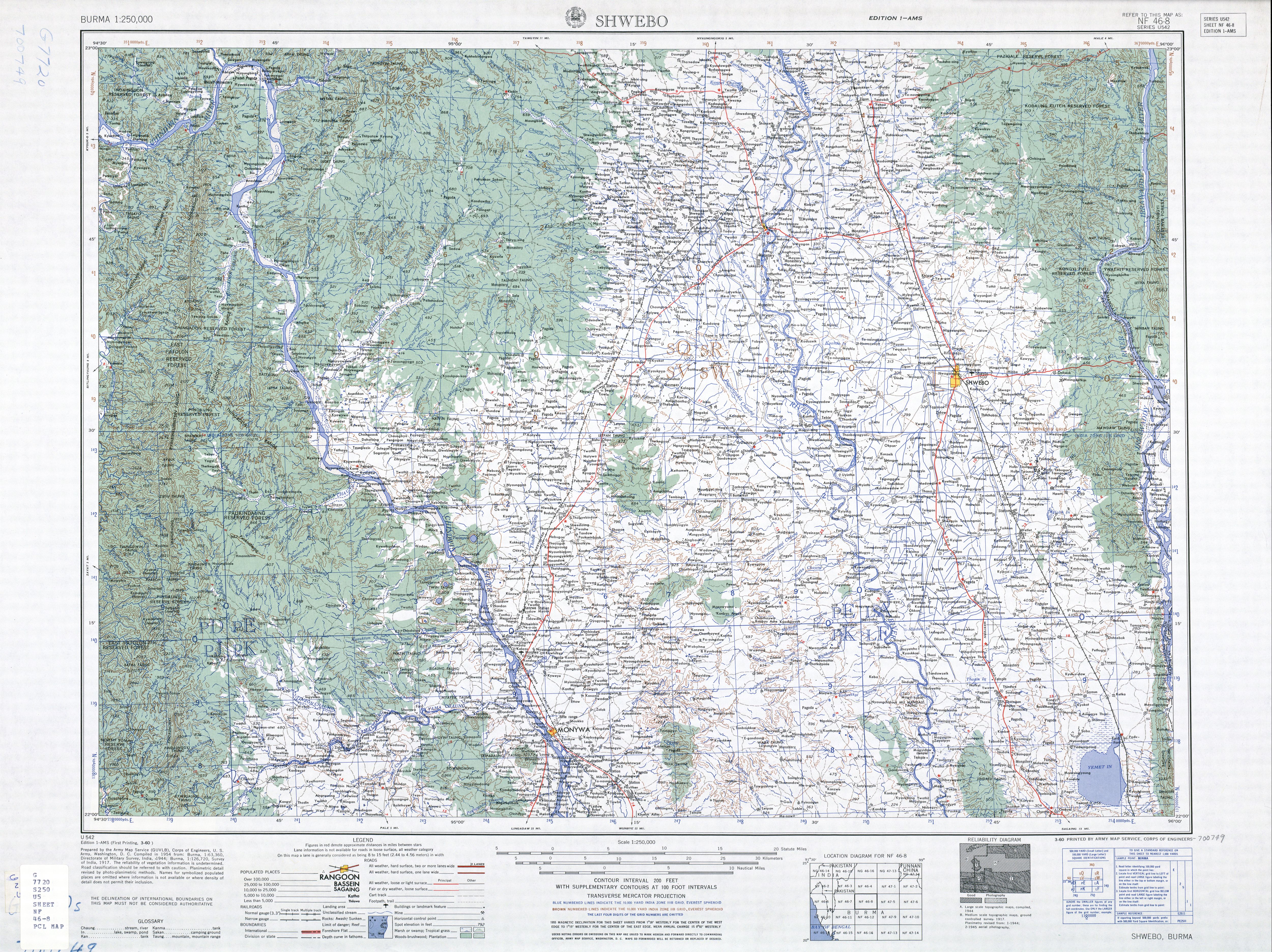
- ↑ Burma 1:250,000 topographic map, Series U542, NF 46-8 Shwebo U.S. Army Map Service, March 1960
External links
edit
.svg)  | This Shwebo District location article is a stub. You can help Wikipedia by adding missing information. |