The Negev Mountains (Hebrew: הר הנגב, romanized: Har HaNegev, lit.'Negev Mountain' [singular]) is a mountainous area in the north-western part of the Negev desert in Israel and the northeastern Sinai Peninsula in Egypt. Mount Ramon is the summit of Negev Mountains and the highest point in southern Israel, reaching 1,037 metres (3,402 ft).

Negev Mountains
Har 'Arif viewed from the east through the axis of the larger 'Arif makhtesh.
Highest point
PeakMount Ramon
Elevation1,037 m (3,402 ft)
Coordinates30°30′10″N 34°38′21″E / 30.50278°N 34.63917°E / 30.50278; 34.63917
Geography
Negev Mountains is located in Israel
Negev Mountains
Country
Israel
Nearby town
Mitzpe Ramon

Most of the area belongs to Negev Mountains Nature Reserve[1], the largest reserve in Israel. Its area is about 1045000 dunams.[2]

List of peaks

edit

List of peaks, sorted by height above sea level:

Name (Eng.)Name (Heb.)Height (m a.s.l.)[3]Coordinates
Mount Haspas הר חספס 71530°22′22″N 34°43′06″E / 30.3728°N 34.7182°E / 30.3728; 34.7182
Mount Michael הר מיכאל 73730°21′49″N 34°43′15″E / 30.36356°N 34.72087°E / 30.36356; 34.72087
Mount Hason (Mount Strong/Mount of the strong/A strong Mountain) הר חסון 76530°24′10″N 34°42′08″E / 30.4029°N 34.7021°E / 30.4029; 34.7021
Mount Gavriel הר גבריאל 77630°21′25″N 34°42′30″E / 30.35692°N 34.70842°E / 30.35692; 34.70842
Mount Dela'at[4] הר דלעת 78130°17′49″N 34°41′33″E / 30.2969°N 34.6926°E / 30.2969; 34.6926
Mount 'Aqrav[4] (Lit:Mount Scorpion) הר עקרב 83530°37′26″N 34°40′40″E / 30.6238°N 34.6778°E / 30.6238; 34.6778
Mount Karkum[4] הר כרכום 84230°37′26″N 34°40′39″E / 30.6240°N 34.6776°E / 30.6240; 34.6776
Mount Nafha[4] הר נפחה 84630°41′45″N 34°45′08″E / 30.6959°N 34.7522°E / 30.6959; 34.7522
Mount 'Ayarim[4] הר עיירים 86030°36′46″N 34°35′57″E / 30.6129°N 34.5992°E / 30.6129; 34.5992
Mount Arikha[4] הר אריכא 86330°39′09″N 34°46′52″E / 30.65242°N 34.78105°E / 30.65242; 34.78105
Mount Batur[4] הר בתור 89630°24′01″N 34°37′24″E / 30.40028°N 34.62325°E / 30.40028; 34.62325
Mount Hemet[4] הר חמת 91830°36′19″N 34°42′50″E / 30.6052°N 34.7138°E / 30.6052; 34.7138
Mount HaMe'ara[4] (Lit:Mountain of the Cave) הר המערה 92230°25′49″N 34°34′24″E / 30.43025°N 34.57335°E / 30.43025; 34.57335
Mount Gizron[4] הר גיזרון (גִזרון) 92630°34′51″N 34°36′36″E / 30.58085°N 34.60993°E / 30.58085; 34.60993
Mount 'Arif[4] הר עריף 95630°25′33″N 34°44′02″E / 30.4259°N 34.7339°E / 30.4259; 34.7339
Mount Sagi[4] הר שגיא 99630°21′02″N 34°38′19″E / 30.35056°N 34.63864°E / 30.35056; 34.63864
Mount Harif[4] הר חריף 1,01230°29′48″N 34°33′34″E / 30.49680°N 34.55941°E / 30.49680; 34.55941
Mount Lots[4] הר לוץ 1,01830°26′53″N 34°37′54″E / 30.4480°N 34.6317°E / 30.4480; 34.6317
Mount Ramon[4] הר רמון 1,03730°30′10″N 34°38′21″E / 30.50278°N 34.63917°E / 30.50278; 34.63917

References

edit
  1. "Nature Reseves In The Negev". www.palyam.org. Archived from the original on 2026-04-15. Retrieved 2026-04-04.
  2. אתרים מוכרזים [Designated sites] (in Hebrew). Nature and Parks Authority. 2024-11-20. Archived from the original on 2026-04-14. Retrieved 2026-04-14.
  3. All heights are given according to the 1:50,000 topographic map of Israel available at amudanan
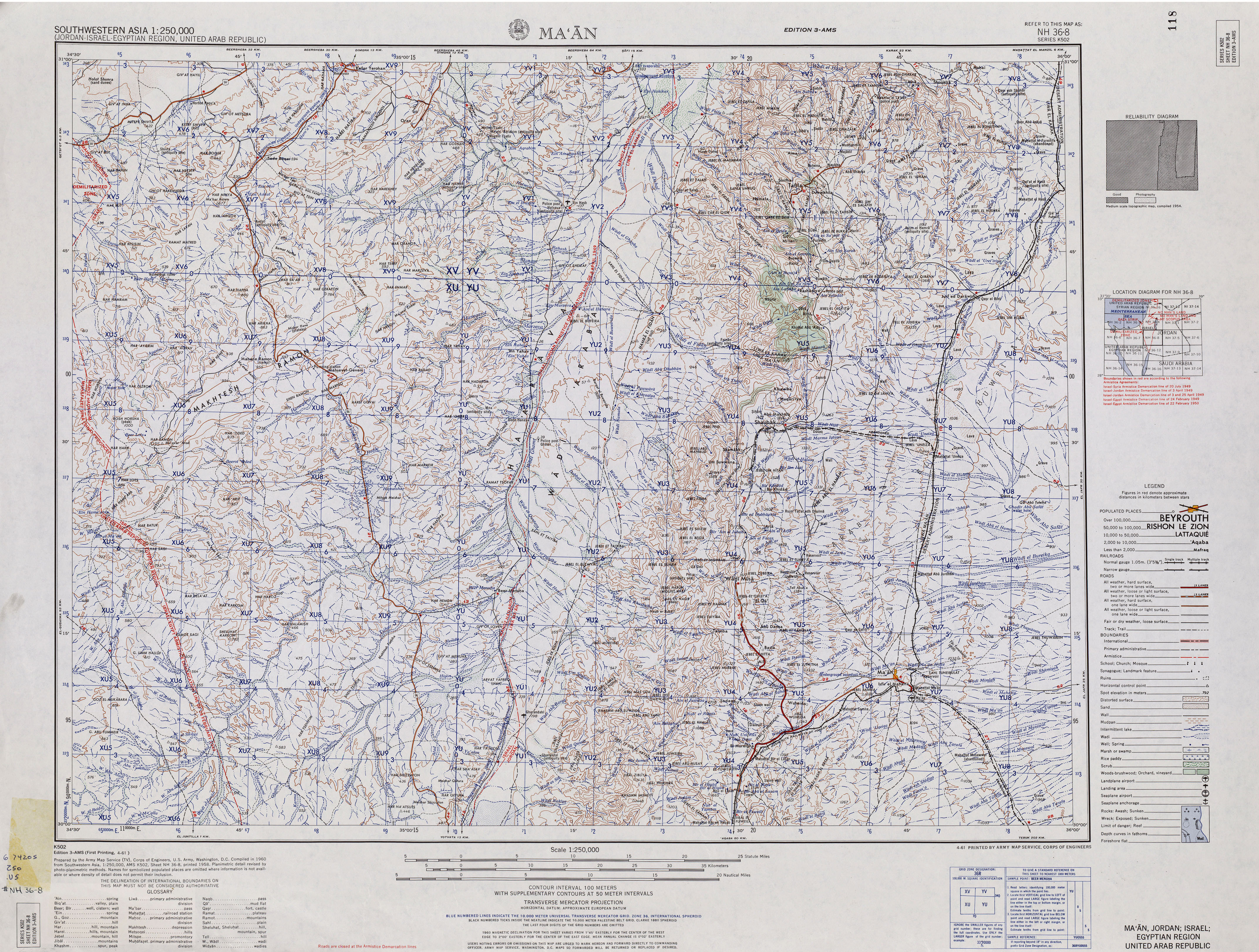
.co.il (in Hebrew)
  4. 1 2 3 4 5 6 7 8 9 10 11 12 13 14 15 Name given according to: "Southwestern Asia, 1:250,000 (Jordan-Israel-Egyptian Region, United Arab Republic); Map Sheet NH 36-8, Series K502". U.S. Army Map Service. 1960.