The Agbado River is a river of Benin.[1] It flows through Maxi territory to the north of Abomey.[2] It flows south from its source in northern Collines Department, passes the town of Savalou, and discharges into the Zou River at the Atchérigbé Classified Forest near Setto.[3]
| Agbado River | |
|---|---|
 Ouémé River system with the Zou and the Agbado river (south west) | |
 Location of mouth | |
| Location | |
| Country | Benin |
| Physical characteristics | |
| Mouth | |
• coordinates | 7°33′54″N 2°07′44″E / 7.565°N 2.129°E |
References
edit- ↑ Rand McNally, The New International Atlas, 1993.
- ↑ Herskovits, Melville Jean; Herskovits, Frances Shapiro (1964). An outline of Dahomean religious belief. Kraus. p. 63. Retrieved 30 April 2012.
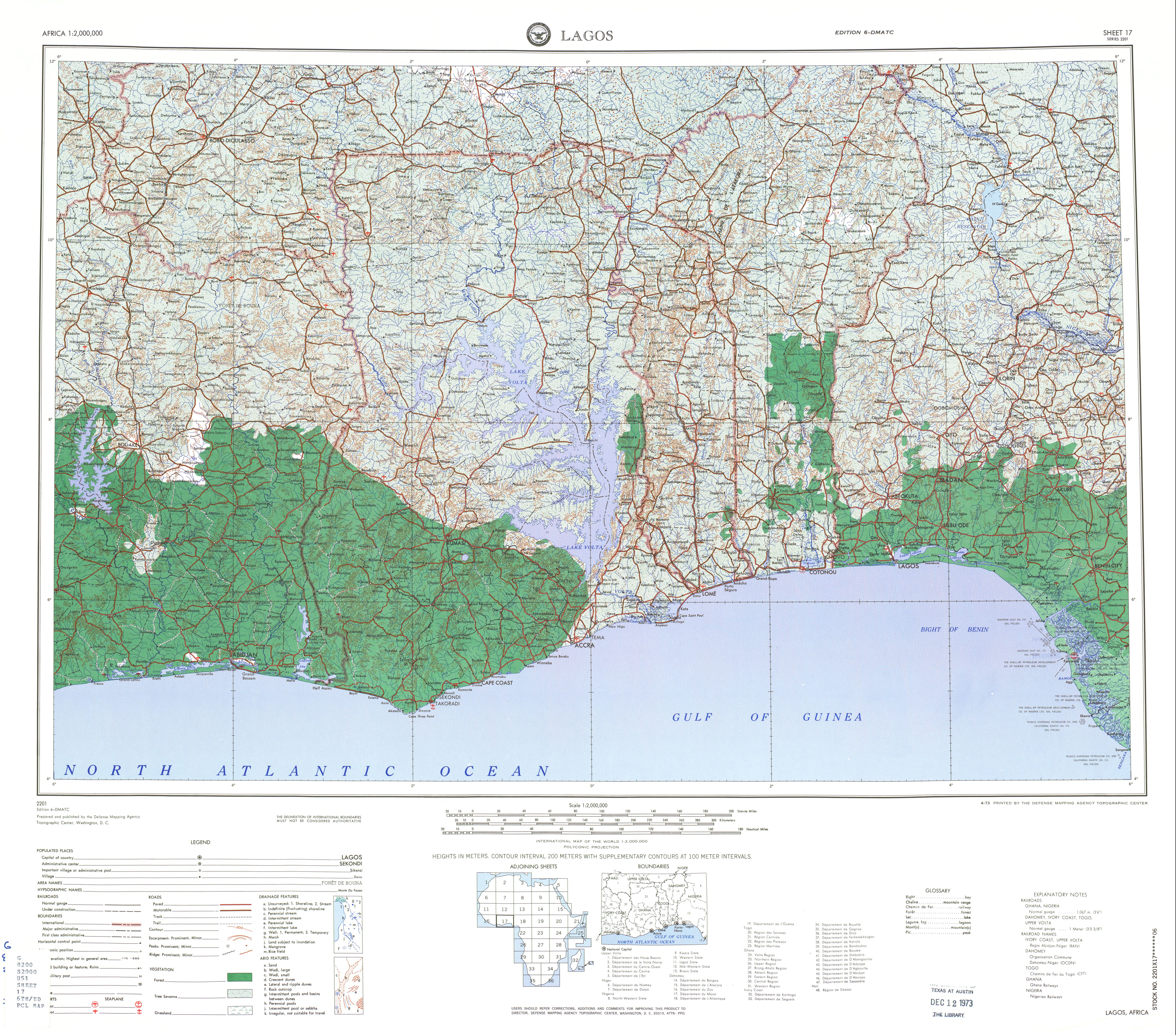
- ↑ Sheet 17: Lagos (Map). 1:2,000,000. Series 2201. Defense Mapping Agency Topographic Center. April 1973.