The Ternate–Nasugbu Road, also known as Ternate–Nasugbu Highway or Nasugbu–Ternate Highway,[2] is a two-to-four lane, secondary road in the provinces of Cavite and Batangas, Philippines.[3][4] It connects the municipality of Ternate in Cavite to the municipality of Nasugbu in Batangas.
.svg) | |
|---|---|
| Ternate–Nasugbu Highway Nasugbu–Ternate Highway | |
 The Kaybiang Tunnel in Maragondon | |
| Route information | |
| Maintained by Department of Public Works and Highways (DPWH) - Cavite 2nd District Engineering Office and Batangas 1st District Engineering Office | |
| Length | 30.229 km[1] (18.783 mi) |
| Component highways | |
| Major junctions | |
| North end |  N405 (Governor's Drive / Caylabne Road) in Ternate, Cavite N405 (Governor's Drive / Caylabne Road) in Ternate, Cavite |
| South end |  N407 (Tagaytay–Nasugbu Highway) in Nasugbu, Batangas N407 (Tagaytay–Nasugbu Highway) in Nasugbu, Batangas |
| Location | |
| Country | Philippines |
| Provinces | Cavite and Batangas |
| Towns | Ternate, Maragondon, and Nasugbu |
| Highway system | |
| |
The road forms part of National Route 407 (N407) of the Philippine highway network.
Route description
editFrom the south, the road starts at the intersection with Tagaytay–Nasugbu Road (J.P. Laurel Street) and the access road to Coast Guard Sub-Station Nasugbu in Nasugbu. Running parallel to the western coast of Batangas and Cavite, it turns north at its intersection with Looc Road before traversing the Mounts Palay-Palay–Mataas-na-Gulod Protected Landscape, where it enters the province of Cavite at Maragondon. The road ends at its intersection with Caylabne Road in Ternate and continues towards the town proper as Governor's Drive.[1]
History
editThe road from Barangay Wawa was extended towards Ternate through a project conceived in 1994 during the administration of President Fidel V. Ramos.[5][6][7][8] However, the construction was delayed due to right-of-way issues, with the groundbreaking held in 2009 during the administration of President Gloria Macapagal Arroyo and completed in 2013 during the administration of her successor President Benigno Aquino III. The project includes a 4-kilometer (2.5 mi) paved road, a 1.4-kilometer (0.87 mi) concrete road, four new bridges, and the 300-meter (980 ft) Kaybiang Tunnel.[9][10]
Intersections
editIntersections are numbered by kilometer posts, with Rizal Park in Manila designated as kilometer zero.
| Province | City/Municipality | km | mi | Destinations | Notes |
|---|---|---|---|---|---|
| Cavite | Ternate | 67.000 | 41.632 | N405 (Governor's Drive / Caylabne Road) | Northern terminus |
| Maragondon | 70.107 | 43.562 | Kaybiang Tunnel | ||
| 72.062 | 44.777 | Patungan Bridge | |||
| 74.551 | 46.324 | Tabe Bridge | |||
| Cavite–Batangas boundary | Maragondon–Nasugbu boundary | 74.622 | 46.368 | Cavite 2nd District Engineering Office–Batangas 1st District Engineering Office highway boundary | |
| Batangas | Nasugbu | 103.65 | 64.41 | N407 (Tagaytay–Nasugbu Highway) | Unsignalled intersection. Western terminus. |
| 1.000 mi = 1.609 km; 1.000 km = 0.621 mi | |||||
References
edit- 1 2 "Road and Bridge Inventory". Department of Public Works and Highways. Retrieved March 26, 2026.
- ↑ "Nasugbu - Ternate Hwy" (Map). Google Maps. Retrieved August 6, 2020.
- ↑ "Cavite 2nd". Department of Public Works and Highways. Retrieved January 9, 2018.
- ↑ "Batangas 1st". Department of Public Works and Highways. Retrieved January 9, 2018.
- ↑ Buhay Batangas (January 4, 2018). "Map of Batangas Road System c. 1914". Batangas History, Culture and Folklore. Retrieved February 1, 2022.
- ↑ Buhay Batangas (January 24, 2018). "A 1930 Batangas Road Trip Guide". Batangas History, Culture and Folklore. Retrieved February 1, 2022.
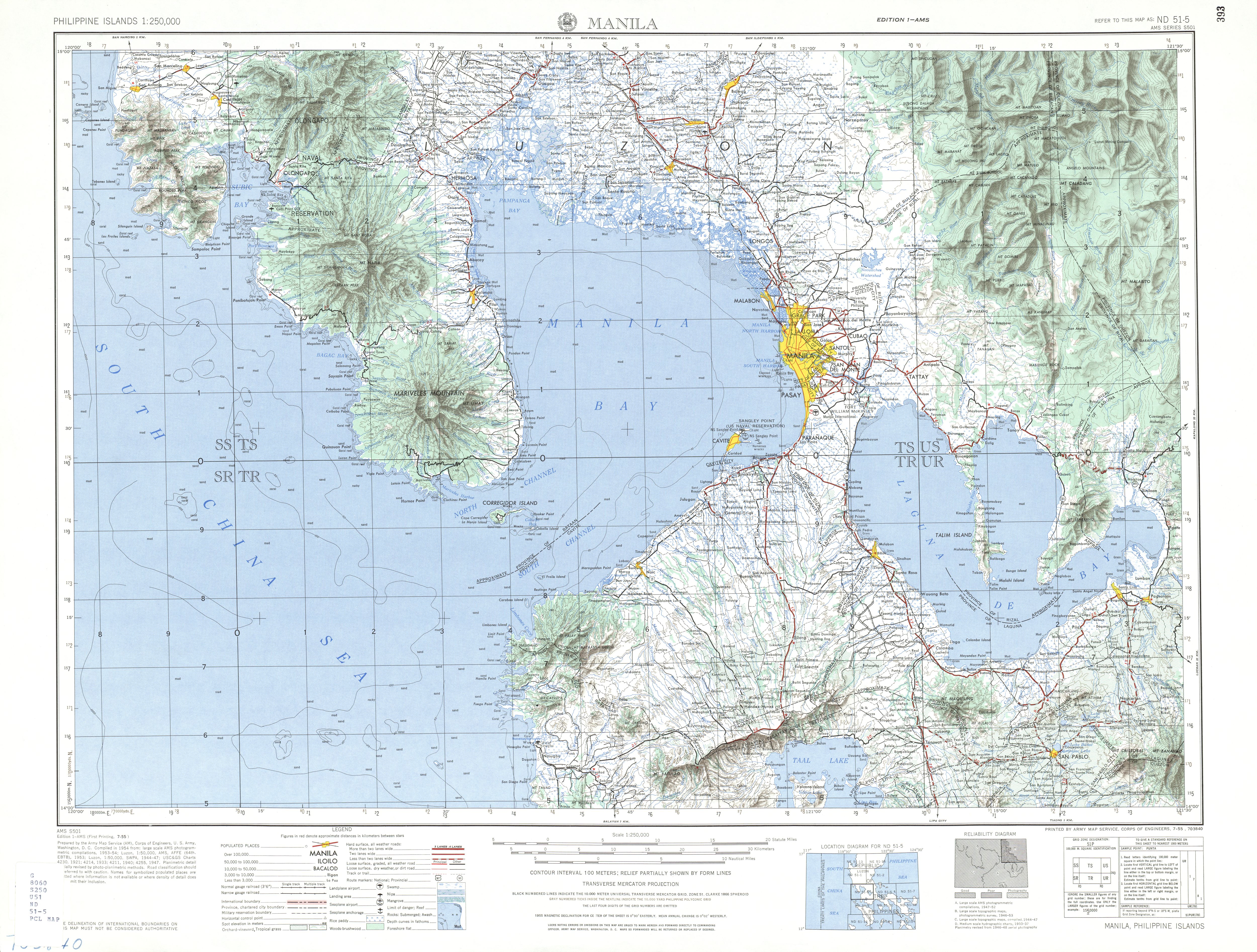
- ↑ ND 51-5 Manila (Map). 1:250,000. Washington D.C.: Army Map Service, Corps of Engineers. 1954. Retrieved November 28, 2021.
- ↑ Manila and Suburbs (Map). July 25, 1944. Retrieved November 28, 2021.
- ↑ Burgonio, TJ (April 5, 2013). "Aquino woos Caviteños, raves over 'tourism road'". Philippine Daily Inquirer. Retrieved November 28, 2021.
- ↑ "Kaybiang Tunnel - The Gateway to the Western Coves of Cavite and Batangas". Schadow1 Expeditions. July 28, 2013. Retrieved November 28, 2021.