Size of this preview: 285 × 600 pixels. Other resolutions: 114 × 240 pixels | 463 × 974 pixels.
Original file (463 × 974 pixels, file size: 204 KB, MIME type: image/jpeg)
This is a file from the Wikimedia Commons. Information from its description page there is shown below.
Commons is a freely licensed media file repository. You can help.
Commons is a freely licensed media file repository. You can help.
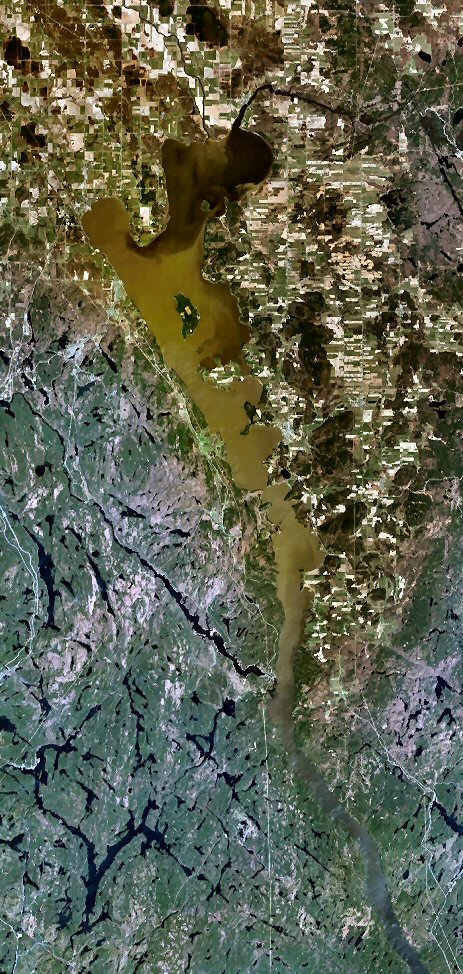
| Description | Lake Timiskaming, Ontario and Quebec, Canada. |
| Source | NASA WorldWind |
| Author | NASA WorldWind |
| This image is in the public domain because it is a screenshot from NASA’s globe software World Wind using a public domain layer, such as Blue Marble, MODIS, Landsat, SRTM, USGS or GLOBE.
|
 |
File history
Click on a date/time to view the file as it appeared at that time.
| Date/Time | Thumbnail | Dimensions | User | Comment | |
|---|---|---|---|---|---|
| current | 14:26, 5 September 2006 | | 463 × 974 (204 KB) | P199 | {{Information |Description= Lake Temiskaming, Ontario and Quebec, Canada. |Source= NASA WorldWind |Date= |Author= |Permission= |other_versions= }} |
File usage
The following 3 pages use this file:
Global file usage
The following other wikis use this file:
- Usage on arz.wikipedia.org
- Usage on ceb.wikipedia.org
- Usage on fr.wikipedia.org
- Usage on pt.wikipedia.org
- Usage on ro.wikipedia.org
- Usage on ru.wikipedia.org
- Usage on sv.wikipedia.org
- Usage on uk.wikipedia.org
- Usage on www.wikidata.org