


Size of this preview: 500 × 755 pixels. Other resolutions: 250 × 377 pixels | 330 × 498 pixels | 1,280 × 1,932 pixels.


Original file (964 × 1,455 pixels, file size: 1.32 MB, MIME type: image/jpeg)

This is a file from the Wikimedia Commons. Information from its description page there is shown below.
Commons is a freely licensed media file repository. You can help.

Commons is a freely licensed media file repository. You can help.
Summary
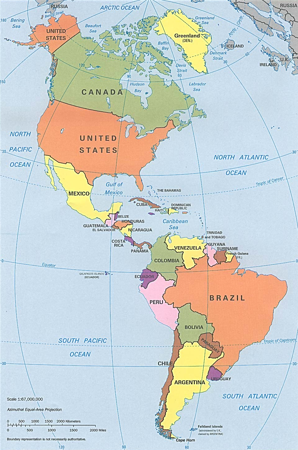
| Description | Americas with political boundaries |
| Date | |
| Source | http://www.lib.utexas.edu/maps/americas/americas_pol96.jpg |
| Author | CIA, original political map from Perry-Castañeda Library Map Collection; University of Texas Library Online |
| Other versions | File:N&SAmerica-pol-es.png |

Licensing

|
This image is a work of a Central Intelligence Agency employee, taken or made as part of that person's official duties. As a Work of the United States Government, this image or media is in the public domain in the United States.
|

|
File history
Click on a date/time to view the file as it appeared at that time.
| Date/Time | Thumbnail | Dimensions | User | Comment | |
|---|---|---|---|---|---|
| current | 09:26, 22 January 2023 | | 964 × 1,455 (1.32 MB) | Lojwe | Cropped 1 % horizontally, < 1 % vertically using CropTool with precise mode. |
| 16:51, 12 July 2012 |  | 970 × 1,460 (1.29 MB) | McZusatz | cropped (used source file) | |
| 20:38, 10 January 2010 |  | 1,000 × 1,521 (286 KB) | Entheta | cropped | |
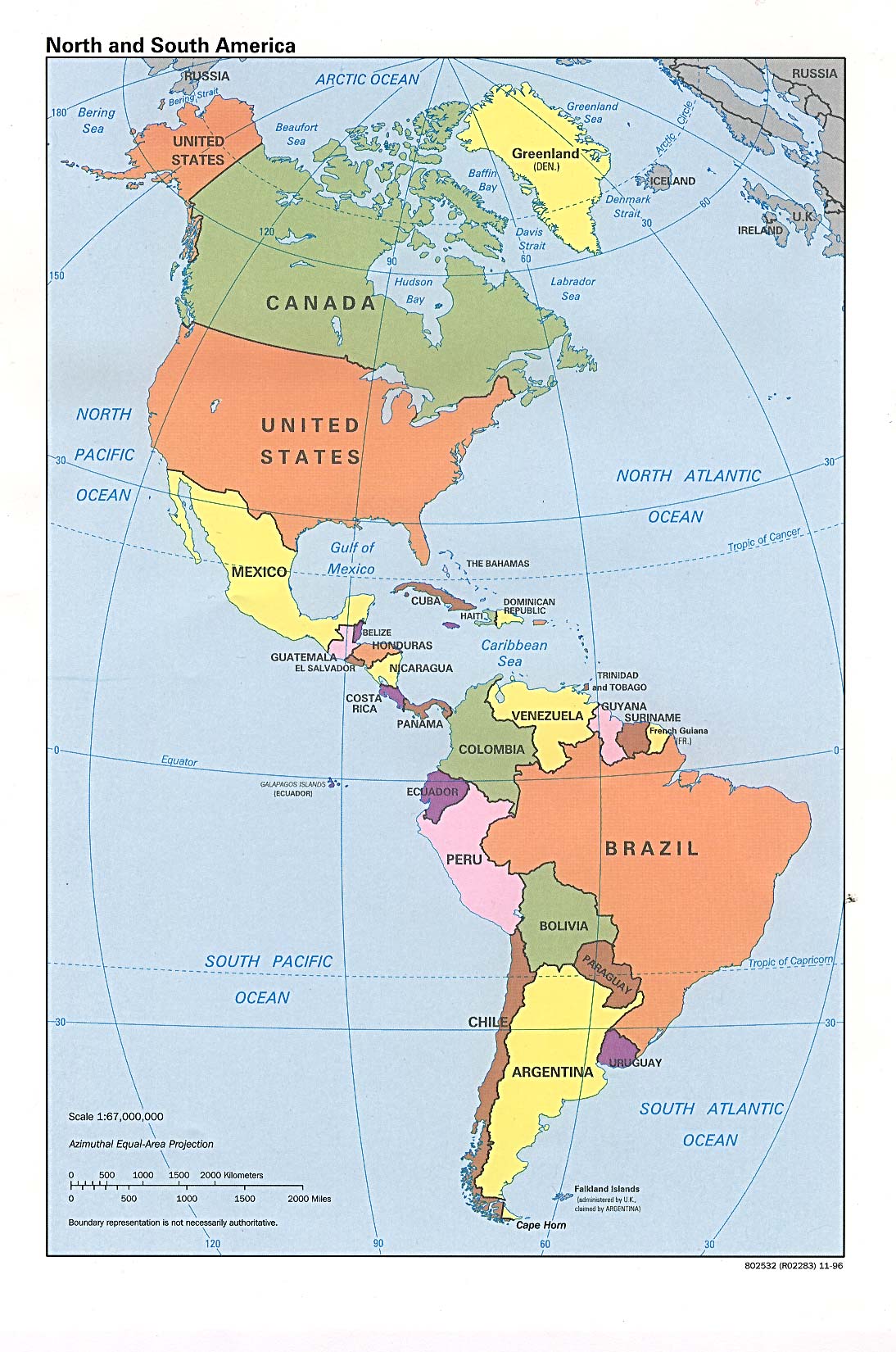
| 18:32, 25 March 2007 |  | 1,094 × 1,650 (289 KB) | Corticopious | North and South America: political map (CIA) |
File usage
The following 2 pages use this file:
Global file usage
The following other wikis use this file:
- Usage on an.wikipedia.org
- Usage on ar.wikipedia.org
- Usage on as.wikipedia.org
- Usage on az.wikipedia.org
- Usage on az.wiktionary.org
- Usage on ba.wikipedia.org
- Usage on ceb.wikipedia.org
- Usage on ckb.wikipedia.org
- Usage on el.wikipedia.org
- Usage on fa.wikipedia.org
- Usage on fi.wikipedia.org
- Usage on fr.wikipedia.org
- Usage on fr.wiktionary.org
- Usage on fy.wikipedia.org
- Usage on he.wikipedia.org
- Usage on hi.wikipedia.org
- Usage on hy.wikipedia.org
- Usage on id.wikipedia.org
- Usage on ig.wikipedia.org
- Usage on ik.wikipedia.org
- Usage on inh.wikipedia.org
- Usage on it.wikipedia.org
- Usage on ka.wikipedia.org
- Usage on kcg.wikipedia.org
- Usage on kk.wikipedia.org
- Usage on km.wikipedia.org
- Usage on kn.wikipedia.org
- Usage on la.wikipedia.org
- Usage on lo.wikipedia.org
- Usage on ml.wikipedia.org
- Usage on mn.wikipedia.org
- Usage on mr.wikipedia.org
- Usage on nds-nl.wikipedia.org
- Usage on nl.wikipedia.org
- Usage on no.wikipedia.org
- Usage on pcd.wikipedia.org
- Usage on pt.wikipedia.org
- Usage on ru.wikipedia.org
- Usage on sat.wikipedia.org
- Usage on sc.wikipedia.org
- Usage on sg.wiktionary.org
View more global usage of this file.

