Size of this preview: 597 × 397 pixels. Other resolution: 320 × 213 pixels.
Original file (597 × 397 pixels, file size: 198 KB, MIME type: image/jpeg)
This is a file from the Wikimedia Commons. Information from its description page there is shown below.
Commons is a freely licensed media file repository. You can help.
Commons is a freely licensed media file repository. You can help.
Summary
| Description |
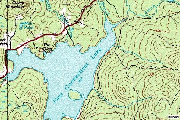
English: United States Geological Survey map of First Connecticut Lake. Approx. 188 km E of Montreal, Quebec, Canada 01 July 1975. |
| Source | Source: MSR Research Maps |
| Author |
| Camera location | | View this and other nearby images on: OpenStreetMap |
|---|
Licensing
This image is in the public domain in the United States because it only contains materials that originally came from the United States Geological Survey, an agency of the United States Department of the Interior. For more information, see the official USGS copyright policy.
|
File history
Click on a date/time to view the file as it appeared at that time.
| Date/Time | Thumbnail | Dimensions | User | Comment | |
|---|---|---|---|---|---|
| current | 21:47, 24 February 2012 | | 597 × 397 (198 KB) | Zfish118 | United States Geological Survey map of the First Connecticut Lake. Approx. 188 km E of Montreal, Quebec, Canada 01 July 1975. Source: [http://msrmaps.com|MSR Research Maps] |
| 21:30, 24 February 2012 |  | 597 × 397 (198 KB) | Zfish118 | United States Geological Survey map of First Connecticut Lake. Approx. 188 km E of Montreal, Quebec, Canada 01 July 1975. Source: [http://msrmaps.com|MSR Research Maps] | |
| 21:28, 24 February 2012 |  | 597 × 397 (198 KB) | Zfish118 | United States Geological Survey map of First Connecticut Lake. Approx. 188 km E of Montreal, Quebec, Canada 01 July 1975. Source: [http://msrmaps.com|MSR Research Maps] |
File usage
The following page uses this file: