Size of this preview: 458 × 599 pixels. Other resolutions: 183 × 240 pixels | 367 × 480 pixels | 810 × 1,059 pixels.
Original file (810 × 1,059 pixels, file size: 40 KB, MIME type: image/png)
This is a file from the Wikimedia Commons. Information from its description page there is shown below.
Commons is a freely licensed media file repository. You can help.
Commons is a freely licensed media file repository. You can help.

|
This art image could be re-created using vector graphics as an SVG file. This has several advantages; see Commons:Media for cleanup for more information. If an SVG form of this image is available, please upload it and afterwards replace this template with
{{vector version available|new image name}}.It is recommended to name the SVG file “Armillary sphere.svg”—then the template Vector version available (or Vva) does not need the new image name parameter. |
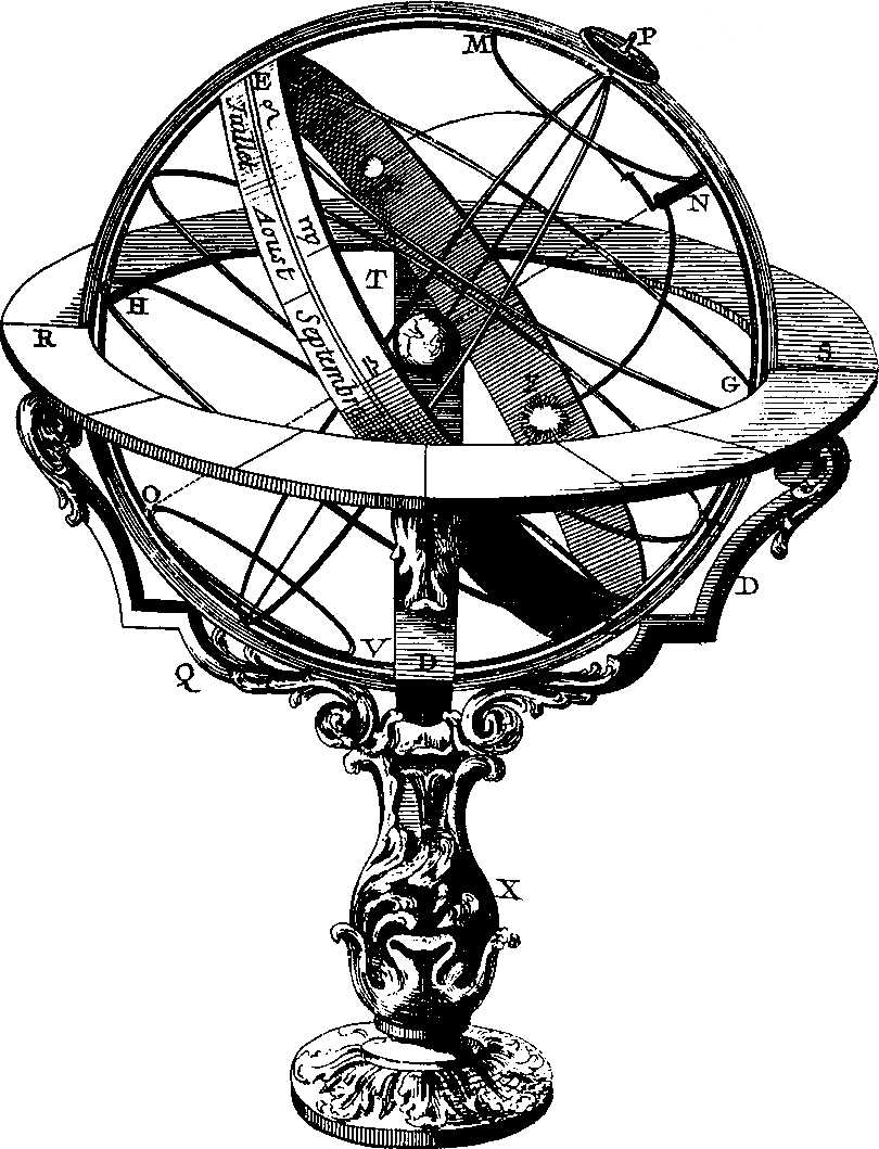
Illustration for Armillary sphere
original upload in english wikipedia 21 April 2003 by Looxix
Scanned by me (looxix) from the Encyclopédie.
|
This work is in the public domain in its country of origin and other countries and areas where the copyright term is the author's life plus 70 years or fewer. | |
| This file has been identified as being free of known restrictions under copyright law, including all related and neighboring rights. | |
(Delete all revisions of this file) (cur) 23:27, 20 April 2003 . . Looxix (Talk) . . 900x1200 (67425 bytes) (Illustration for Armillary sphere)
File history
Click on a date/time to view the file as it appeared at that time.
| Date/Time | Thumbnail | Dimensions | User | Comment | |
|---|---|---|---|---|---|
| current | 20:42, 11 November 2006 | | 810 × 1,059 (40 KB) | Ysangkok | |
| 20:12, 26 March 2005 |  | 900 × 1,200 (66 KB) | Gakmo | Armillary Sphere, from en {{GFDL}} |
File usage
More than 100 pages use this file. The following list shows the first 100 pages that use this file only. A full list is available.
- Abstract space
- Acoustic shadow
- Anthroposphere
- Area committee
- Autonomous city
- Baladiyya
- Barachois
- Barony (county division)
- Borchert's Epochs
- Bulkhead line
- Carse
- Census division
- Chorology
- Circle (administrative division)
- Coastal waterfall
- Community (administrative division)
- Cove
- Crag and tail
- Dene (valley)
- Departamento
- Department (administrative division)
- Discordant coastline
- District municipality
- Division (political geography)
- Dry point
- Dry valley
- Drying height
- Emergent coastline
- Epilimnion
- Federal city
- Geographic Locator Codes
- Geosophy
- Gulch
- Headwall
- Hillock
- Inland harbor
- Intermontane
- Kozhuun
- Kryal
- Kīpuka
- Line parent
- Liwa (Arabic)
- Lubber line
- Mining village
- Mintaqa
- Monastic settlement
- Moranbong
- Mudiriyah
- Mukim
- Nahiyah
- Narrows
- Natural barrier
- Off-stream reservoir
- Okres
- Outport
- Palustrine wetland
- Paraglacial
- Park Tundra
- Petty sessional division
- Pocket beach
- Polar desert
- Presque-isle
- Principal meridian
- Range state
- Ribbon lake
- Rural settlement
- Rurality
- Rythe
- Sand island
- Sangthang
- Satellite village
- Scroll plain
- Shut-in (river)
- Snow field
- String bog
- Styled Layer Descriptor
- Sýsla
- Thorp
- Tierra caliente
- Tierra helada
- Till plain
- Toft village
- Topocide
- Topographic profile
- Topophilia
- Trailhead
- True north
- Truncated spur
- UN/LOCODE:AR
- Urban cluster (France)
- Urban districts of the Netherlands
- Urban unit
- Vinex-location
- Waterwolf
- Weather hole
- Wind gap
- User:Ckatz/Workspace/Templates/8-way
- User:Naufana/Images
- User:Qyd/sandbox
- Wikipedia:WikiProject Geography
View more links to this file.
Global file usage
The following other wikis use this file:
- Usage on als.wikipedia.org
- Usage on ar.wikipedia.org
- Usage on arz.wikipedia.org
- Usage on av.wikipedia.org
- Usage on ban.wikipedia.org
- Usage on bat-smg.wikipedia.org
View more global usage of this file.