Size of this preview: 800 × 450 pixels. Other resolutions: 320 × 180 pixels | 640 × 360 pixels | 1,139 × 640 pixels.
Original file (1,139 × 640 pixels, file size: 1.7 MB, MIME type: image/png)
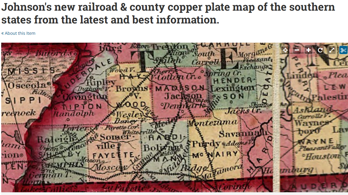
Johnson's new railroad & county copper plate map of the southern states from the latest and best information
Summary
edit
Full-size map link on Library of Congress website: https://www.loc.gov/resource/g3700.rr001360/
Detailed map showing drainage, state and county boundaries, place names, steamboat routes, and railroad network.
Contributor Names
edit
Johnson & Browning.
Created / Published
edit
1860, c1859
This work is in the public domain in the United States because it was published (or registered with the U.S. Copyright Office) before January 1, 1931.
Uploaded by:
edit
Stephanie Bohrman
File history
Click on a date/time to view the file as it appeared at that time.
| Date/Time | Thumbnail | Dimensions | User | Comment | |
|---|---|---|---|---|---|
| current | 10:19, 9 November 2019 | | 1,139 × 640 (1.7 MB) | SBohrman (talk | contribs) | =Johnson's new railroad & county copper plate map of the southern states from the latest and best information= <br> ==Summary== Full-size map link on Library of Congress website: https://www.loc.gov/resource/g3700.rr001360/ Detailed map showing drainage, state and county boundaries, place names, steamboat routes, and railroad network. <br> ==Contributor Names== Johnson & Browning. <br> ==Created / Published== 1860, c1859 <br> {{PD-US-expired}} <br> ==Uploaded by:== Stephanie Bohrman |
You cannot overwrite this file.
File usage
The following page uses this file: